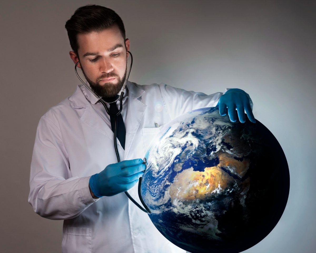
Introduction: AI Meets Public Health
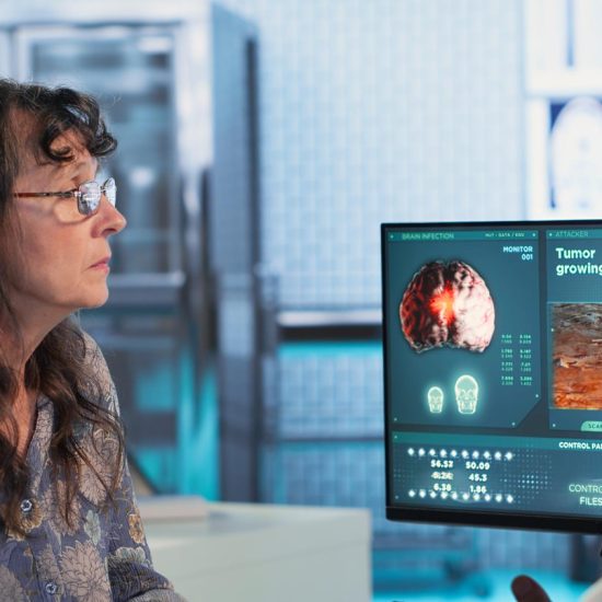
Public health crises demand faster, smarter responses. Today, researchers are turning to artificial intelligence to stay ahead of deadly disease outbreaks. Google has introduced powerful new capabilities within Google Earth AI. These tools help public health experts forecast outbreaks and identify communities at risk. Furthermore, this technology marks a turning point in disease prevention. Rather than waiting for epidemics to escalate, health systems can now detect warning signs early. The combination of environmental data, mobility patterns, and health records creates an unprecedented tool for preventative medicine.
What Is Google Earth AI?
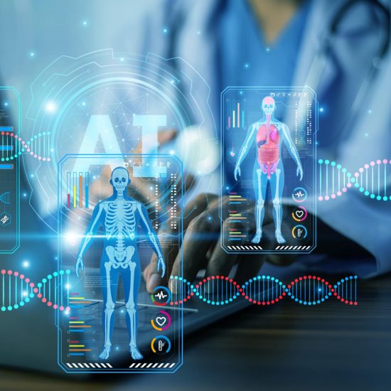
Google Earth AI is an advanced geospatial platform that blends satellite imagery with machine learning. It processes vast amounts of environmental information, including weather patterns, flooding events, and air quality measurements. In addition, it incorporates population mobility data and historical health records to build predictive models. Previously, public health teams relied on slower, reactive methods to track disease spread. Now, Google Earth AI gives researchers real-time insights into how environmental conditions drive disease transmission. As a result, decision-makers gain a clearer picture of emerging health threats before they escalate.
How the System Works
Integrating Environmental and Health Data
The platform brings together multiple data streams. Specifically, it combines geospatial layers — such as flood maps and air quality indices — with human mobility trends. Health records then complete the picture, helping researchers identify patterns that traditional surveillance tools often miss. Moreover, the system uses time-series modelling to track changes over time. This approach helps analysts spot seasonal spikes in disease activity before they become full-blown outbreaks. Consequently, health authorities receive earlier warnings and gain more time to prepare effective responses.
Key Diseases Under Study
Google Earth AI currently targets several high-priority diseases. Dengue fever and cholera are two primary focuses, as both show strong links to environmental conditions. Additionally, researchers are exploring its potential for chronic disease management. This broader application significantly expands the platform’s overall public health impact.
Fighting Cholera with AI Predictions
One of the most compelling results involves cholera forecasting. Researchers collaborated with the World Health Organisation (WHO) Regional Office for Africa. Together, they combined Google’s time-series models with geospatial data. This partnership improved cholera prediction accuracy by more than 35 percent. That improvement is highly significant. Cholera outbreaks in Africa often overwhelm healthcare systems with little warning. Therefore, accurate early forecasts allow governments to pre-position medical supplies and issue timely public health advisories. Ultimately, this technology has the potential to save thousands of lives each year.
Dengue Forecasting in Brazil
Meanwhile, scientists at the University of Oxford applied Google Earth AI datasets to dengue fever research. Their study focused on Brazil, where seasonal dengue outbreaks pose a serious public health challenge. Using the platform, researchers enhanced the accuracy of six-month dengue forecasts. These improved predictions give local authorities actionable intelligence well in advance. Instead of reacting after outbreaks begin, officials can launch prevention programs during critical windows. For example, targeted mosquito control campaigns become far more effective when authorities deploy them before peak transmission seasons.
Chronic Disease Analysis in Australia
Beyond infectious diseases, Australia is also exploring the platform’s potential for chronic health conditions. Local health organisations are partnering with Google to test how geospatial models can identify regional health needs. Specifically, researchers are examining how environmental factors influence chronic illness rates across different communities. This work could reshape national preventative care strategies. By understanding geographic health disparities, governments can allocate healthcare resources more efficiently. In turn, underserved communities gain better access to early interventions and long-term health support.
The Shift Toward Preventative Health
The broader significance of Google Earth AI lies in its potential to transform public health philosophy entirely. Historically, health systems operated in a reactive mode — responding to crises only after they emerge. However, combining environmental intelligence with predictive AI enables a fundamentally different approach. Now, public health agencies can shift from crisis management to proactive prevention. Early detection systems allow for targeted interventions before outbreaks spiral out of control. Moreover, this shift reduces both human suffering and the enormous economic costs of large-scale health emergencies. In conclusion, Google Earth AI represents a meaningful leap forward in global health security, offering a powerful new tool against the world’s most persistent disease threats.